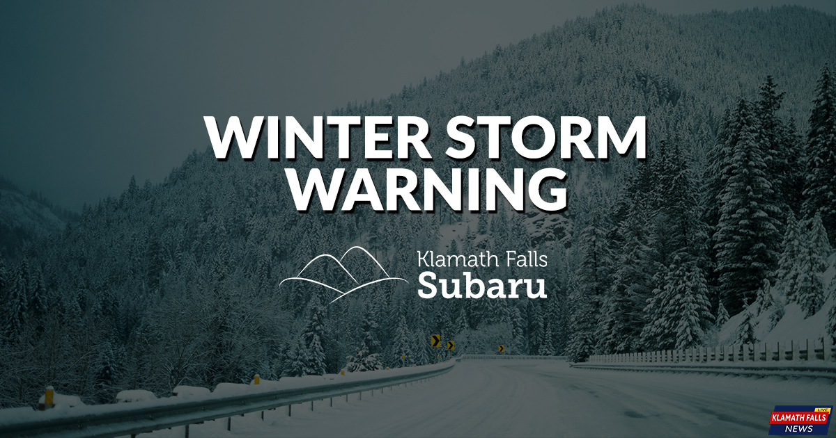
Winter Storm to Bring up to 18 Inches of Snow This Weekend
/Winter Storm Warning for areas over 6,000 feet, Winter Storm Advisory for areas under 6,000 feet are both effect from midnight Friday night to 4:00 AM Sunday. For much of Southern Oregon and Northern California.Including Areas of Klamath, Lake, Modoc, Siskiyou, Jackson, Josephine, and Curry Counties.
Travel is strongly discouraged because of dangerous conditions. If you must travel, keep tire chains, a flashlight, blankets, food, water, medications, and a fully charged phone with you. The safest place during a winter storm is indoors.
A Winter Storm Warning means that severe winter weather is likely and poses a threat to life and property. Take protective action now.
WINTER STORM WARNING & ADVISORY
Moderate to heavy snow expected. Total snow accumulations expected in the warning area of 12 to 18 inches. Accumulations in the advisory area of 6 to 12 inches, except above 6000 feet where 12 to 18 inches are expected. Winds could gust as high as 35 mph.
LOCATION
Areas in the warning including Highway 97 from Chemult to Modoc Point, and Crater Lake including highway 62 and 138 near Crater Lake.
Areas in the advisory include Klamath Falls, Macdoel, Bonanza, Sprague River, Bly, Beatty, Highway 62, Highway 138, Highway 66 and Highway 140 as well as the remainder of the Cascades and Siskiyous.
WHEN
From midnight to 4:00 AM PST Sunday.
ADDITIONAL DETAILS
Gusty winds could also cause some blowing and drifting snow and reduced visibility, especially in higher elevations. Travel could be very difficult to impossible.
(NWS Medford)
From National Weather Service, Medford, Ore.
Another cold storm system will drop southward along the coast with a cold front expected to move through from northwest to southeast Saturday.
Current data show a colder, stronger storm than the previous one earlier in the week, so snow levels should start lower and precipitation amounts should be higher.
Snow levels could drop to west side valleys floors Saturday and perhaps to sea level once again as a cold air mass follows the front Saturday night into Sunday.
Our highest confidence is in accumulating snow above 2000 feet, and confidence is increasing in at least some accumulating snow down to the west side valley floors of Jackson County late Saturday afternoon through early Sunday morning.
Confidence in accumulating snow is lower for elevations lower than 1000 feet. Keep checking back for updates as this next winter event unfolds.
The 2019 Winter Weather Alerts are brought to you by Klamath Falls Subaru with their Principals of Awesomeness you are guaranteed to love your new Subaru.
Learn more at KlamathFallsSubaru.com


