
Severe winter storm expected to hit Southern Oregon and Northern California on Tuesday [UPDATED]
/Significant snowfall is expected for the very busy travel period Tuesday into Wednesday morning
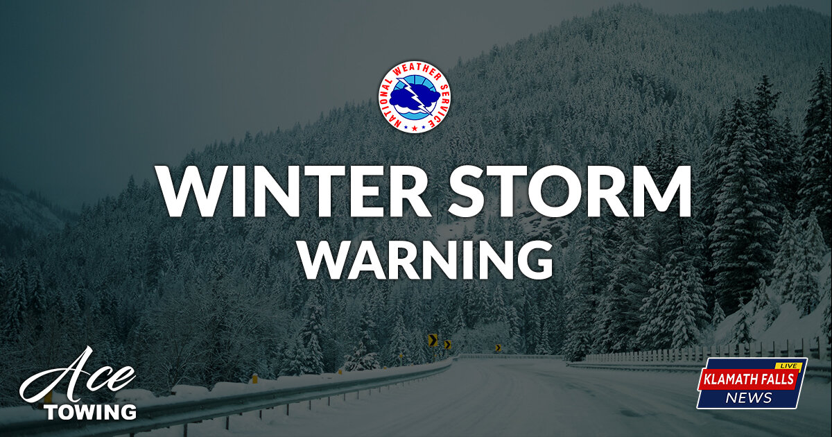
The National Weather Service has issued the following or much of Southern Oregon and Northern California: Winter Storm Warning, Winter Weather Advisory, and Wind Advisory.
Low pressure is expected to strengthen as it approaches the Oregon Coast Tuesday. Confidence has increased that the low will strengthen and track into the Southern Oregon coast on Tuesday.
Moderate to heavy snow is expected to fall late Tuesday morning through Tuesday night, then gradually decrease late Tuesday night into Wednesday morning.
The largest travel impacts are expected in northern California, but impacts will extend into portions of southern Oregon as well, especially for mountain passes and other elevations above 2500 ft. Light to moderate snow is possible for elevations below 2500 feet as snow levels lower Tuesday evening through Wednesday morning.
See the latest Weather and Hazards Data Viewer
Details
Winter Storm Warning
West of the Cascades: Heavy snow above 2500 feet with snow impacts above 1500 feet expected. Above 2500 feet, total snow accumulations of 6 to 10 inches expected. Winds could gust as high as 50 mph. Above 1500 feet, total snow accumulations of 2 to 4 inches expected. Winds could gust as high as 40 mph.
Winter Storm Watch
South Central Oregon Cascades: Snow expected. Total snow accumulations of 7 to 15 inches expected. Winds could gust as high as 45 mph, except higher in the mountains.
* REVISED *
Heavy Snow Accumulations of 8 to 16 inches and wind gusts up to 60 mph expected.
Klamath Basin: Snow expected. Total snow accumulations of 4 to 11 inches expected. Winds could gust as high as 45 mph.
Location
Winter Storm Warning
West of the Cascades: Locations in the warning include elevations higher than 2500 feet in many areas west of the Cascades. This includes the Tiller-Trail Highway, Highway 140, and Butte Falls. Locations in the advisory include elevations above 1500 feet including Interstate 5 at Sexton, Stage Road, Smith Hill, and Canyon Creek Pass. It also includes highway 138 at Jacksonville hill.
* REVISED *
The Warning area includes the Siskiyou Mountains, including Interstate 5 at Siskiyou Summit and Oregon Highway 66. The Advisory includes the Southern Oregon Cascades, including Highway 140 at Lake of the Woods and Howard Prairie.
Winter Storm Watch
South Central Oregon Cascades: Highways 62, 232, and 138 in Oregon. This includes Crater Lake, Diamond Lake, and Union Creek.
Klamath Basin: Klamath Basin and Northern and Eastern Klamath County and Western Lake County; Northeast Siskiyou and Modoc Counties. This includes Klamath Falls, Highway 140, Highway 97 including Chiloquin, Chemult, Crescent, Bly, Sprague River, Beatty, Alturas, Highway 199, Cedarville Pass, Highway 395, and Highway 139.
When
From 10:00 AM Tuesday to 10:00 AM PST Wednesday. The heaviest snow will occur Tuesday afternoon through Tuesday evening.
Additional Details
Travel could be very difficult to impossible. The hazardous conditions will impact pre-Thanksgiving travel. Gusty winds could bring down tree branches.
Precautionary & Preparedness Actions
Stock emergency kit with tire chains, flashlight, batteries, blankets, food, water, and medications. The safest place during a winter storm is indoors. Plan now to avoid traveling during the storm. A Winter Storm Watch means there is potential for significant snow accumulations that may create dangerous travel.


Northern California Travel
In Several areas of Northern California a Winter Storm Warning has been issued, replacing the previously issued Winter Storm Watch.
According to NWS Sacramento, “several FEET of snow are expected, and mountain travel is highly discouraged!”


The 2019-20 Winter Weather Alerts are brought to you by Ace Towing.
Ace Towing reminds you to slow down on slick and icy roadways. However, if you need assistance on the road, they are there to help - 541-884-9388. Jump starts, lockouts, run out of fuel, collision towing, and more Ace Towing is ready to help.
The great folks at Ace Towing also remind you to please #SlowDownMoveOver for any emergency vehicle on the side of the road including tow trucks.