
Red Flag Warning Today [8/16/18] for Abundant Lightning
/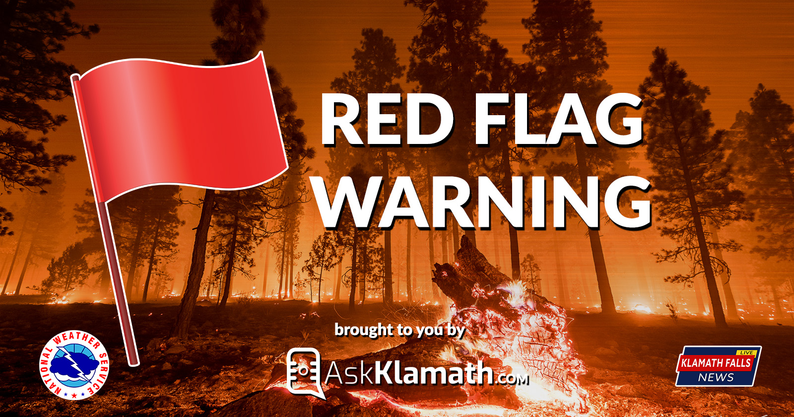
RED FLAG WARNING in effect from 11:00am this morning to 11:00pm this evening for portions for fire weather zones 617, 623, 624, and 625 for abundant lightning on dry fuels.
BREEZY WITH LOW HUMIDITY IN NORTHERN CALIFORNIA, especially from the Shasta Valley eastward and also over the east side in Oregon this afternoon and evening.
An upper level trough will move into the area today with isolated to scattered thunderstorms.
Main areas impacted will be near the Cascade crest from Crater Lake northward and east of Toketee Falls, then eastward across northern Klamath and Lake Counties down to about Hart Mountain Wildlife Refuge.
Outside of convection, breezy to windy and dry conditions will occur this afternoon and evening over the east side in Oregon and especially in northern California from the Shasta Valley eastward. Friday`s trough will move east, and although buildups can occur in eastern Lake County, thunderstorms should remain to the east. A period of gusty offshore northeast winds may occur Friday into Saturday with moderate to poor overnight humidity recoveries
Forecast
Hot, dry weather will persist today. Isolated dry thunderstorms are possible tonight into Wednesday morning over northeastern California and south central Oregon. The risk for lightning will expand to the northwest to near and just west of the Cascades Wednesday. An upper level trough will keep thunder chances in the forecast near the mountains and in northern Klamath and Lake Counties Thursday. The trough will push to the east of the area Friday with hot, dry weather expected again this weekend. A period of gusty offshore northeast winds may occur Friday into Saturday with moderate to poor overnight humidity recoveries.
Impacts
Upper level low pressure approaching from the west is expected to result in another round of isolated to scattered thunderstorms across portions of southwest Oregon. The best potential for scattered thunderstorms will be in the northern portions of Klamath and Lake counties.
Isolated to scattered thunderstorms combined with very dry vegetation are likely to result in new fire starts. Gusty thunderstorm winds could contribute to fire spread. Despite rainfall with some of the thunderstorms, initial attack resources could be overwhelmed and holdover fires are possible.
Red Flag Warnings in effect for much of Eastern Oregon. NWS Fire Weather Map for August 16, 2018. https://www.wrh.noaa.gov/fire2/?wfo=mfr
Affected Area
- In Fire Weather Zone 617, areas east of Toketee Falls and the Willamette National Forest portion.
- In Fire Weather Zone 623, areas east of Union Creek and from Crater Lake National Park northward.
- In Fire Weather Zone 624, areas north of Chiloquin and Sprague River, including Chemult. This includes the Timber Crater 6 and 10 fires.
- In Fire Weather Zone 625, areas north and east of Paisley, including Summer Lake and Fort Rock, and also areas from Hart Mountain Wildlife Refuge eastward.
Fire Weather Zones
- Zone 617: Cascades northwest of Crater Lake
- Zone 623: Cascades south of Crater Lake to Ore/Cal border
- Zone 624: Parts of Klamath and Lake Counties
- Zone 625: Parts of Lake and Harney Counties
(See map above for detailed Fire Weather Zone Areas)
Thunderstorms:
Scattered thunderstorms are expected from Crater and Diamond Lakes northeastward and across northern Klamath and Lake counties. Confidence in thunderstorms occuring in that area is high. Isolated thunderstorms are expected as far south as just north of Sprague River, and for some areas east of Summer Lake in Lake and Harney counties. Confidence in thunderstorms occuring in that area is moderate.
Red Flag Warning alert announced by the National Weather Service

This summer weather advisory is brought to you by Ask Klamath a locally produced talk show where the audience asks questions of the guest. Live every other Wednesday. Watch past episodes at www.AskKlamath.com