
Red Flag Warning - Dry Thunderstorms, Abundant Lightning Expected
/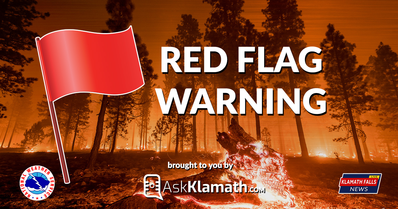
The National Weather Service in Medford has issued a Red Flag Warning...which is in effect from 11 PM Tuesday to 11 PM PDT Wednesday.
Dry thunderstorms expected in northeastern California and south central Oregon Tuesday evening into Wednesday morning. Abundant lightning possible Wednesday morning through Wednesday evening across portions of the interior west side of northern California and southwestern Oregon
Elevated monsoonal moisture and exceptionally dry conditions at and near the surface will bring the potential for dry thunderstorms Tuesday evening through Wednesday morning across northeastern California and portions of Klamath, Lake, and Harney counties.
The thunderstorm threat will expand west and northward Wednesday morning through Wednesday evening as available moisture increases. Thunderstorms along and west of the Cascades are likely to produce wetting rainfall at some locations, but also lightning outside of the rain cores in others.
Forecast
Hot, dry weather will persist today. Isolated dry thunderstorms are possible tonight into Wednesday morning over northeastern California and south central Oregon. The risk for lightning will expand to the northwest to near and just west of the Cascades Wednesday. An upper level trough will keep thunder chances in the forecast near the mountains and in northern Klamath and Lake Counties Thursday. The trough will push to the east of the area Friday with hot, dry weather expected again this weekend. A period of gusty offshore northeast winds may occur Friday into Saturday with moderate to poor overnight humidity recoveries.
Impacts
Isolated dry thunderstorms are expected to result in new fire starts Tuesday night into Wednesday morning. Wednesday afternoon and evening wetter, scattered thunderstorms are expected to result in additional fire starts. Initial attack resources could be overwhelmed and holdover fires are possible.
NWS Fire Weather Map for August 14, 2018. https://www.wrh.noaa.gov/fire2/?wfo=mfr
Affected Area
In South Central Oregon
Fire Weather Zones 624 and 625 which includes portions of Klamath, Lake, and Harney counties.
In Northern California
Fire Weather Zones 824 and 825 which includes portions of Siskiyou and Modoc Counties.
Thunderstorms:
Dry thunderstorms are expected Tuesday night into Wednesday morning. Gusty thunderstorm winds could contribute to fire spread. Wednesday afternoon and evening scattered thunderstorms with some rainfall are expected. Confidence is highest in thunderstorm activity Wednesday afternoon and evening.
Precautionary/preparedness actions:
Dry lightning on existing very dry fuels could cause numerous new fire ignitions Tuesday night into Wednesday morning. Gusty and erratic outflow winds could lead to rapid fire growth potential. Abundant lightning on existing very dry fuels could cause numerous new fire ignitions Wednesday afternoon and evening. Gusty and erratic outflow winds could also create extreme fire growth potential.
Fire weather watch alert announced by the National Weather Service

This summer weather advisory is brought to you by Ask Klamath a locally produced talk show where the audience asks questions of the guest. Live every other Wednesday. Watch past episodes at www.AskKlamath.com