
More Snow for Cascades
/
A disturbance will bring more snow to the Mt Shasta, Trinity Alps, Siskiyous and Cascade regions
Snow will occur above 4500 feet with the most significant accumulations above 5000 feet. We have issued a winter storm watch because of the potential for significant snow accumulation above 5000 feet in the regions mentioned already.
If you are planning to travel above 4500 feet Tuesday night or Wednesday, be prepared to encounter snow during your travels.
Snowfall Forecast for Southern Oregon and Northern California [UPDATED] (NWS, Medford)
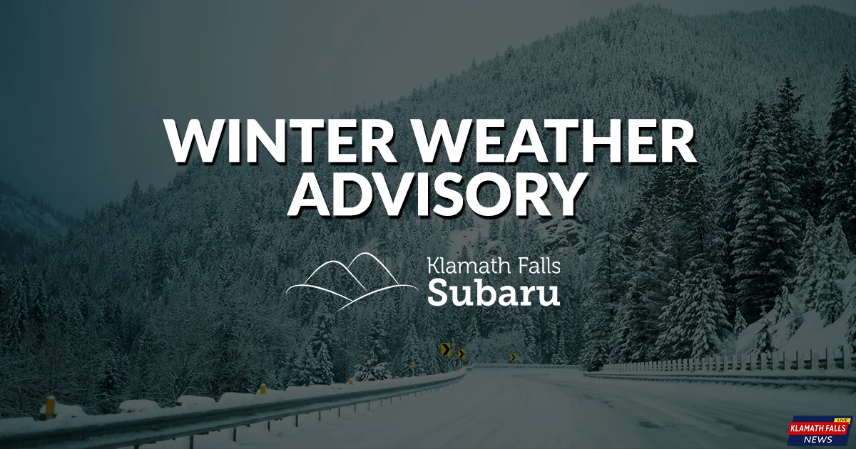
Winter Weather Advisory
Snow expected. Total snow accumulations 8 to 14 inches expected above 4500 feet.
Location
South Central Oregon Cascades, Siskiyou Mountains and Southern Oregon Cascades, Klamath Basin and Northern and Eastern Klamath County and Western Lake County.
Passes on highway 140, 230, the Crater Lake area, and highway 97 near Modoc Point and near Chemult are in the advisory areas.
When
From 4 PM Tuesday to 10 PM PST Wednesday.

The 2019 Winter Weather Alerts are brought to you by Klamath Falls Subaru.
Simple. Honest. Awesome.
Shop online at KlamathFallsSubaru.com
